Assessing Structural Damage
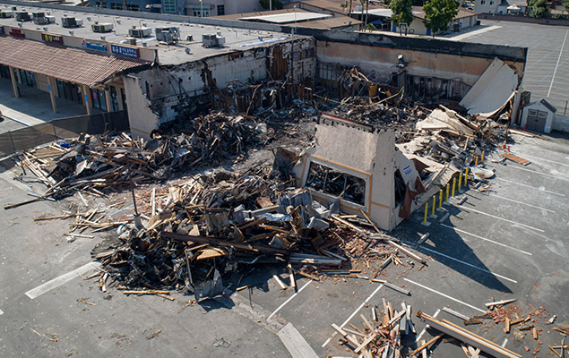
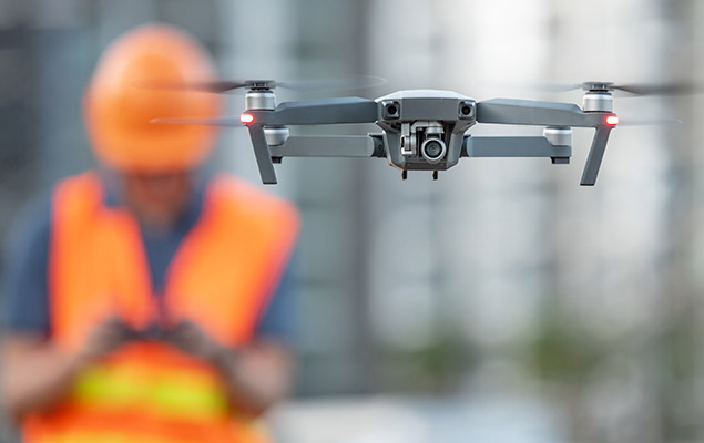
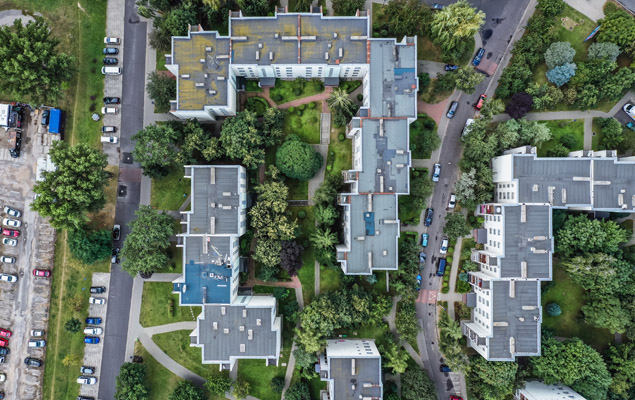
Innovation in drone technology has increased communication, accuracy, efficiency, and safety. Using the latest software and hardware technologies, including artificial intelligence, ATI accurately measures structures and safely documents damages to buildings. From pre-planning to client interaction, new and improved drone software holds the ability to process visual data to create in-depth construction site maps. Drones have provided us with a safer and more affordable option for high-quality project mapping.

Hazardous Chemical Spills
Drones can obtain high-quality visuals that aren’t possible with a typical site photographer. This allows for improved transparency in project safety and accident prevention. Drones can go where people can’t to monitor commercial accidents like hazardous chemical spills giving real-time data on the scope of the damage and allowing for more effective planning. They can also be deployed to assist in clean-up efforts as well.

Aerial Thermal Imagery
We leverage autonomous drones and damage detection software to get the best geospatial data available, resolving claims with greater efficiency and accuracy. Thermal Imaging (external): By attaching thermal imagery hardware to a drone, we accurately capture thermal differences in the exterior envelope of a structure to assist in damage assessment.

Delivering Emergency Infrastructures & Supplies
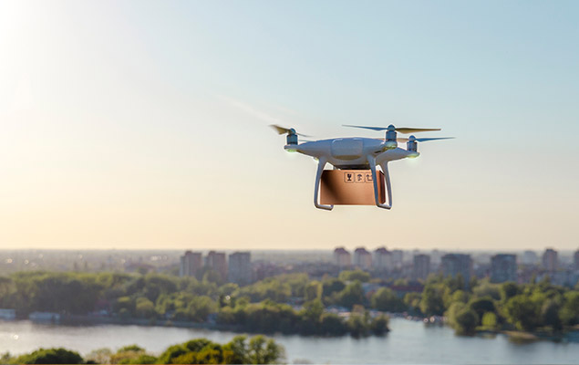
Thanks to their versatility and mobility, drones can be used to bring emergency supplies and infrastructures to areas impacted by catastrophes where standard transportation methods don’t have access. Crossing a washed-out road or flying out of reach of a wildfire means fewer delays during incredibly crucial times for crews who need supplies and support.
